State Maps Home > State Map Collection > Greeley Map
Street Map of Greeley
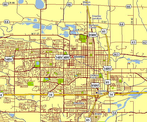
This map is a classic sketch that displays the geography of this region with a plain assortment of elements.
You have permission to download the map image and use it in your research. Linking back to this resource would be considerate and well thought of.
In case you request assistance obtaining a map, a special kind of map, or request a high quality customized production, please do not hesitate to contact YellowMaps.
Acquire tip-top custom-made maps from us. Custom maps made by YellowMaps consist of a large variety of elements, for example: streets, scale bar, UTM coordinates, channels, islands, unincorporated areas, glaciers, or plains, etc. Map types run from topographic to satellite, static to dynamic, world to voting districts.
High Quality maps are specific, well-defined, and not obsolete. First-Rate map design by YellowMaps.
To procure hardcopy maps, such as recreation atlases, maps for kids, or maps showing elevation, I suggest you browse our map store We hold over 100,000 map items.
We love maps. A grand passion and delight. Show me a good map of the world..., they say.
Back to State map collection