State Maps Home > State Map Collection > Map of Jacksonville
Street Map of Jacksonville
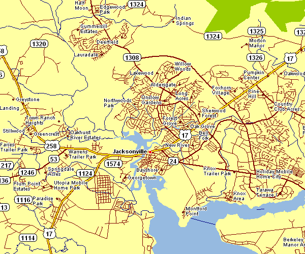
Above, you can see a plain projection that displays the geography of this area with a classic combination of details.
You have permission to share the map and use it in your projects. Linking back to this resource would be considerate and well thought of.
In case you need support finding a map, a special kind of map, or need a suitable individualized production, please email us.
Purchase high quality custom maps from us. A tailor-made product produced by us cover a large selection of map elements, for example: thoroughfares, map projection, UTM coordinates, district municipalities, major municipal/district areas, shoals, cliffs, or road features, etc. Map types range from topo to orthophoto, large-print to small-print, county level to state legislative districts.
Suitable maps are meticulous, current, and not misleading. Detail-Oriented map-making by YellowMaps.
To acquire hardcopy maps, like wall maps, maps for kids, or topographic maps, do not hesitate to marvel at the cartographic delights in our map shop We hold thousands and thousands map items.
A lot of our maps get printed on-demand. They are always available.
Back to State map collection