State Maps Home > State Map Collection > Utah Map
Printable Map of Utah
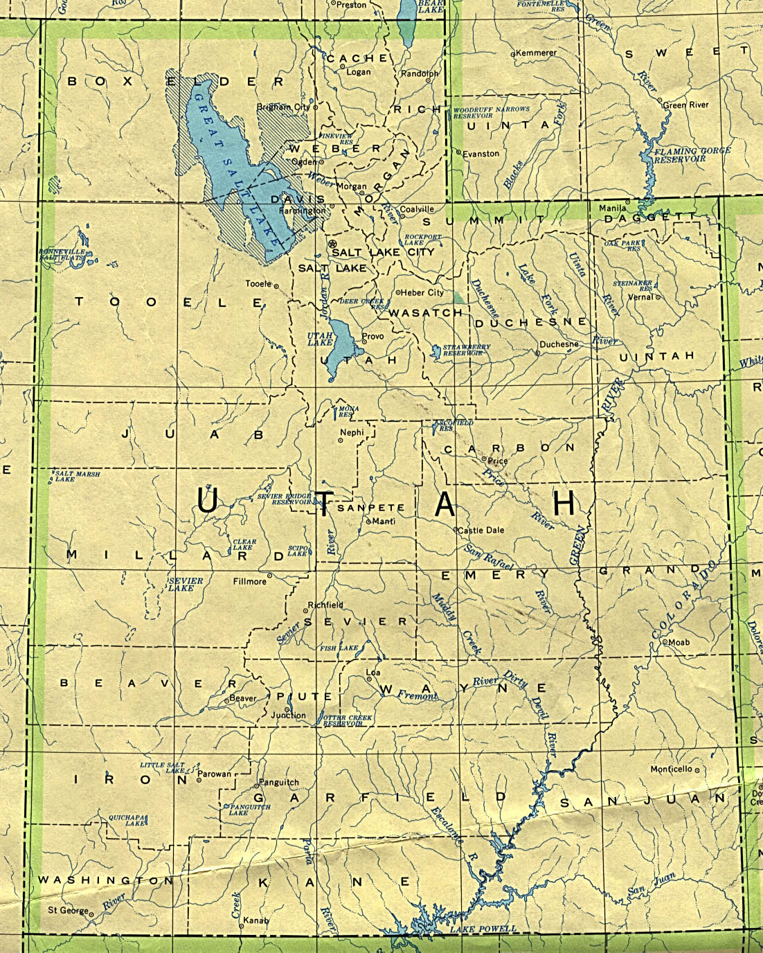
Above, you can see a simple projection indicating the spatial layout of this area with a classic medley of map elements.
You have permission to use the map image and employ it for a variety of purposes. Giving credit to this source would be awesome.
In case you want assistance obtaining a map, a specific map, or want a first-rate custom-built cartographic design, I suggest you email us.
Procure high quality personalized maps from us. A tailor-made product produced by us have a generous mixture of features, like: alleys, scale bar, coordinate grid, caves, military area, undersea features, geographical areas, or road features, etc. Types of maps reach from scientific to raised-relief, printed to electronic, counties to planning regions.
First-Rate maps are specific, well-defined, and not unclear. Fine map-making by YellowMaps.
To order printed maps or charts, for instance recreation atlases, attractions maps, or topo maps, quickly go to our map shop You can find over 100,000 maps.
A lot of our maps get printed on-demand. They are always available.
Back to State map collection