State Maps Home > State Map Collection > Idaho Map
Printable Map of Idaho
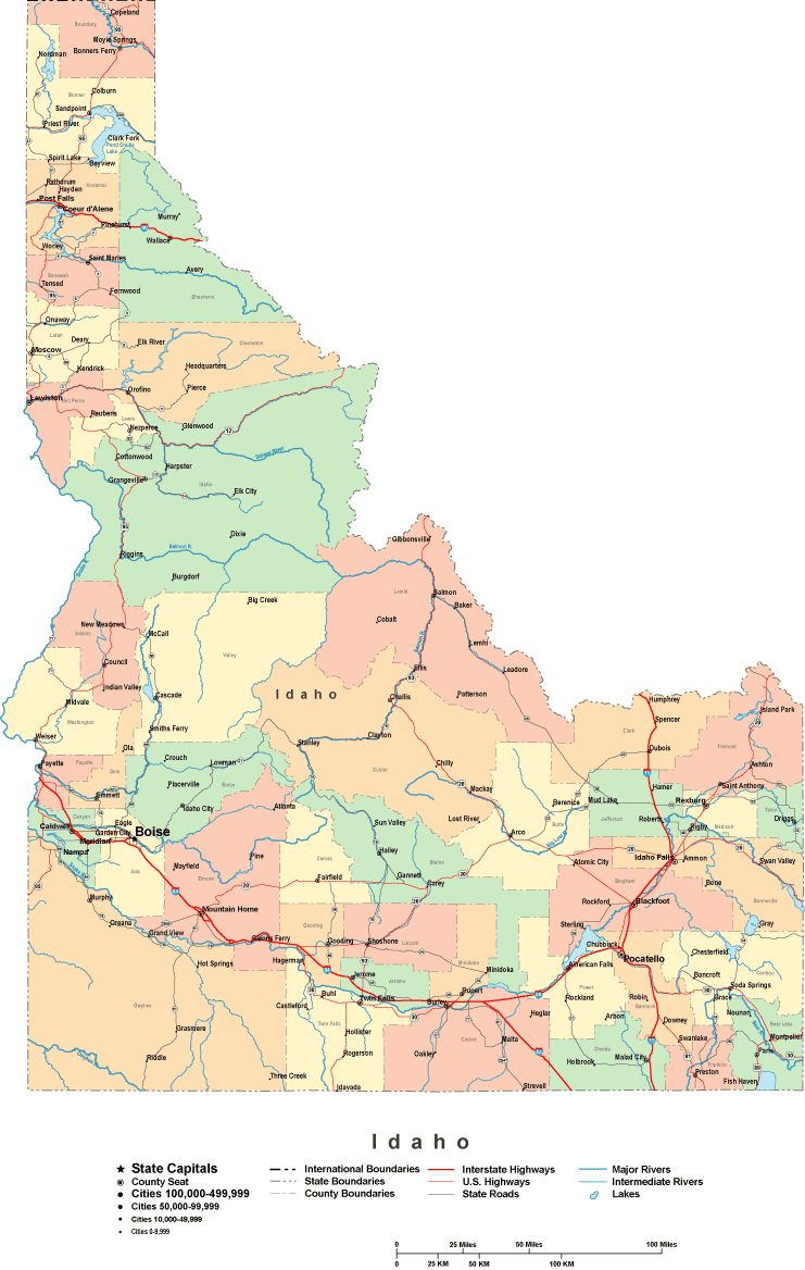
On top you have a simple sketch presenting the geography of this place with a basic medley of elements.
Of course, you can use the map and take advantage of it for many purposes. Providing a link to here is always appreciated. Thank you kindly.
Supposing you are looking for support acquiring a map, a different kind of map, or are looking for a good custom-made production, please do not hesitate to get in touch with us.
Buy superior custom maps from us. A custom map made by us consist of a huge medley of features, for instance: streets, scale bar, UTM coordinates, channels, major municipal/district areas, springs, glaciers, or rivers, etc. Map types range from scientific to orthophoto, printable to printed, regional to voting districts.
Good maps are clear, clear-cut, and not deceptive. Skillful map-making by YellowMaps.
To procure printed maps or charts, for instance road atlases, state maps, or wilderness maps, do not hesitate to dive into YellowMaps Map Store We hold tens of thousands map products.
Mapping the world. One step at a time.
Back to State map collection