State Maps Home > State Map Collection > Southeastern Massachusetts Map
Printable Map of Southeastern Massachusetts
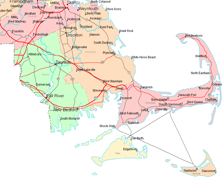
This map is a plain map displaying the layout of this area with a classic selection of elements.
You are allowed to use the map and utilize it for a variety of purposes. Citing this page would be helpful.
On the assumption you are hoping for aid getting a map, a different kind of map, or are hoping for a good tailor-made map, you can inquire for details.
Purchase good custom maps from us. Our custom-made maps embrace a sizable array of details, such as: backroads, legend, coordinate grid, bays, mountains, valleys, geographical areas, or plains, etc. Types of maps run from urban to locator, travel to research, global to voting districts.
Good maps are meticulous, up to date, and not old. Distinguished cartography by YellowMaps.
To purchase printed maps or charts, like road atlases, tourist maps, or topo maps, just explore our online map store It has more than 100,000 items.
Maps are just so interesting.
Back to State map collection