State Maps Home > State Map Collection > Northeast South Carolina Map
Printable Map of Northeast South Carolina
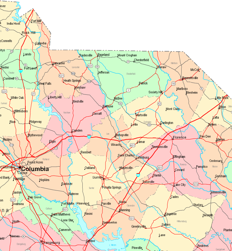
On top we have a classic design outlining the geography of this environs with a classic medley of map elements.
You have permission to store this map and use it in your research. Linking back to this resource would be considerate and well thought of.
On the assumption that you need help retrieving a map, a different kind of map, or need a proper tailor-made production, just contact our map specialists.
Purchase good custom-made maps from us. A custom map made by us cover a useful variety of map elements, like: thoroughfares, scale bar, coordinates, campsites, indian reserves, valleys, geographical areas, or road features, etc. Map types run from orienteering to satellite, digital to hardcopy, world to places.
Proper maps are accurate, all-inclusive, and not misleading. Distinguished map production by YellowMaps.
To procure paper maps, such as recreation atlases, country maps, or maps for kayaking, you can pay a visit to YellowMaps Map Store It has tens of thousands products.
When in doubt, just ask us. We answer emails quickly.
Back to State map collection