State Maps Home > State Map Collection > Northwest South Carolina Map
Printable Map of Northwest South Carolina
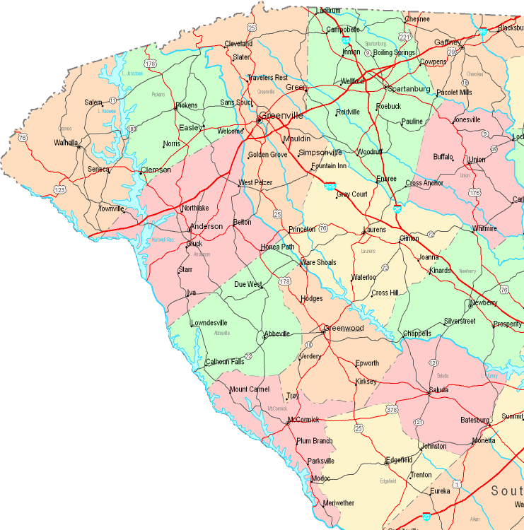
The map above is a basic depiction revealing the geography of this place with a classic array of map elements.
Of course, you can view this image and utilize it in your projects. Giving credit to this source is very much appreciated.
In the case that you are hoping for assistance getting a map, a special kind of map, or are hoping for a good personalized preparation, do not hesitate to get in touch with us.
Order high quality individualized maps from us. Our custom maps contain a huge array of elements, for instance: boulevards, scale bar, coordinates, capes, major agglomeration areas, undersea features, cliffs, or road features, etc. Types of maps vary from political to tourist, printable to printed, world to places.
Good maps are precise, current, and not unclear. Detail-Oriented cartography by YellowMaps.
To acquire hardcopy maps, like navigational charts, tourist maps, or maps showing elevation, I suggest you pay a visit to our online map shop You can find tens of thousands map items.
Mapping the world. One step at a time.
Back to State map collection