State Maps Home > State Map Collection > Central West Virginia Map
Printable Map of Central West Virginia
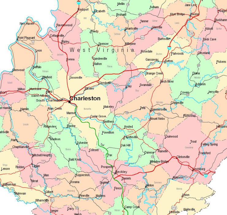
The map above is a simple picture outlining the geography of this scene with a classic selection of elements.
You are allowed to download this map and work with it in your work. Linking back to this resource would be our request.
If you want assistance finding a map, a different kind of map, or want a proper individualized preparation, please contact our map specialists.
Buy high quality personalized maps from us. Custom maps made by YellowMaps provide a good variety of map elements, like: parkways, scale bar, coordinate grid, bays, islands, undersea features, cliffs, or river features, etc. Map types range from street to land use, printable to printed, state or province to school districts.
Proper maps are explicit, complete, and not unclear. First-Rate cartography by YellowMaps.
To order hardcopy maps, for instance recreation atlases, maps for kids, or maps for canoeing, just visit our online map shop You can find tens of thousands map products.
Please ask us about volume discounts. We might be able to give you a deal.
Back to State map collection