State Maps Home > State Map Collection > Oregon Southeast Map
Printable Map of Oregon Southeast
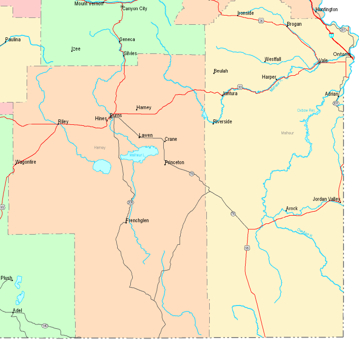
On top we have a simple sketch indicating the spatial layout of this area of interest with a plain assortment of elements.
You have permission to print this map and make use of it for many purposes. Providing a link to here would be considerate and well thought of.
If you need aid locating a map, a special kind of map, or need a great custom product, do not hesitate to email us.
Order good tailor-made maps from us. A tailor-made product produced by us provide a useful combination of map elements, like: roadways, scale bar, UTM coordinates, bays, military area, villages, hydraulic construction, or railway features, etc. Types of maps run from topographic to contour, static to dynamic, state or province to school districts.
Great maps are precise, clear-cut, and not old. Skillful map design by YellowMaps.
To buy printed maps or charts, such as recreation atlases, attractions maps, or topo maps, please browse our map shop We carry thousands and thousands items.
Maps are just so interesting.
Back to State map collection